
STREAM FLOWS
The Sun River watershed supports a diverse array of land and water uses. The river provides irrigation for farms and ranches, drinking water for communities, water for businesses and recreation, and of course, for fish and wildlife habitat. Making sure there is enough water to support these uses throughout all seasons each year takes partnership and communication, as well as a system of stream gages to inform management decisions.
SUN RIVER STREAM GAGES
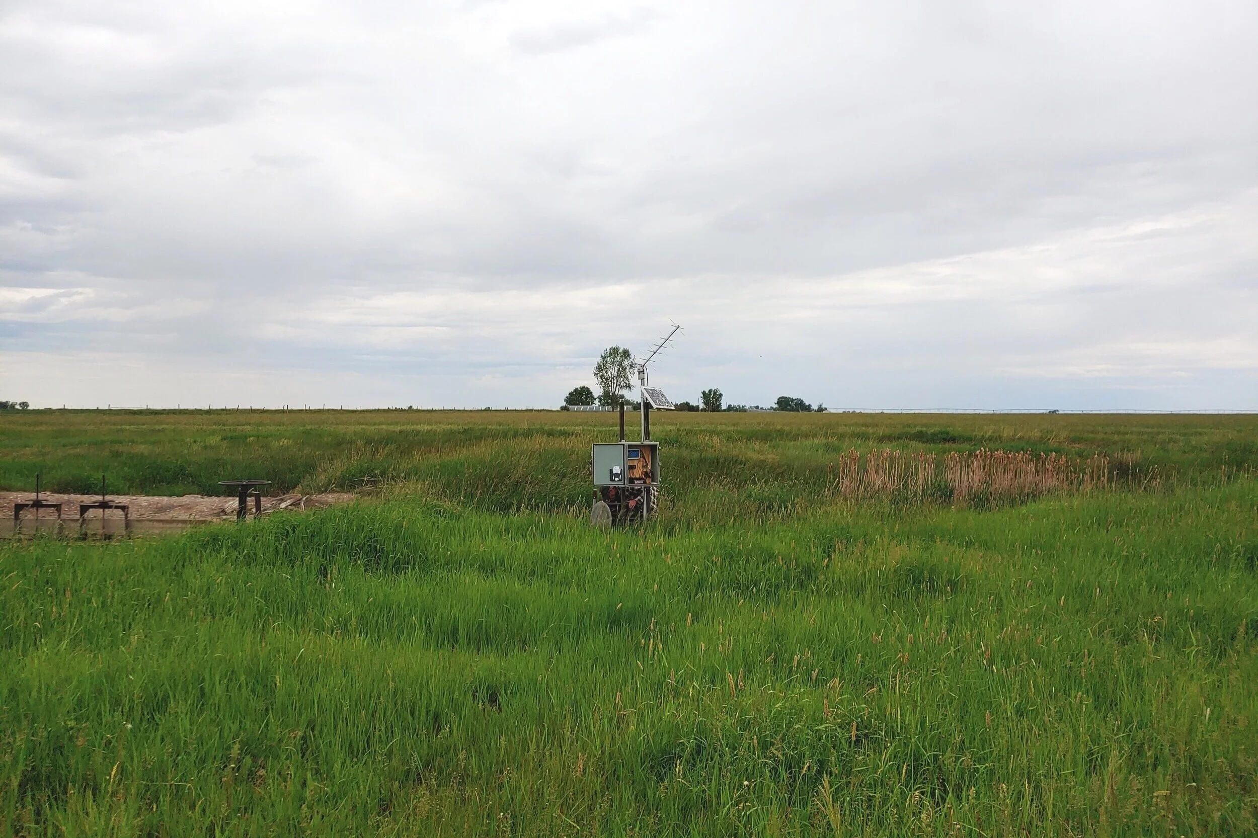
The Sun River’s network of stream gages includes year-round continuous data, which is available through USGS gages. CHECK USGS GAGES HERE
SRWG also operates and maintains a network of seasonal stream gages, which provide data April through October. Information is available on the DNRC StAGE website: CHECK SEASONAL GAGES HERE
The Greenfields Irrigation District website provides information about water and land use across the watershed. GO TO GID SITE
Gage information is also available on our RIVER CONDITIONS SITE.

WATER MANAGEMENT WORKING GROUP
The Sun River Water Management Working Group meets twice a year to discuss water supply and management across the basin, as well as special issues such as flooding or drought. These meetings are open to the public. Dates vary, and will be posted on our EVENTS page.

MONTANA’S STREAM GAGES
Water is a valuable and limited resource and management of that resource is not an issue exclusive to the Sun River. Water managers and the public across our state rely on the stream gage network to deliver accurate real-time information on Montana’s stream flows. Local governments, state, tribal and federal agencies also rely on the network for emergency planning and notification as well as longer-term water supply planning.
The Montana state-wide stream gages working group and DNRC created this overview of stream gages across the state. Learn why stream gages are so important and what information they provide.